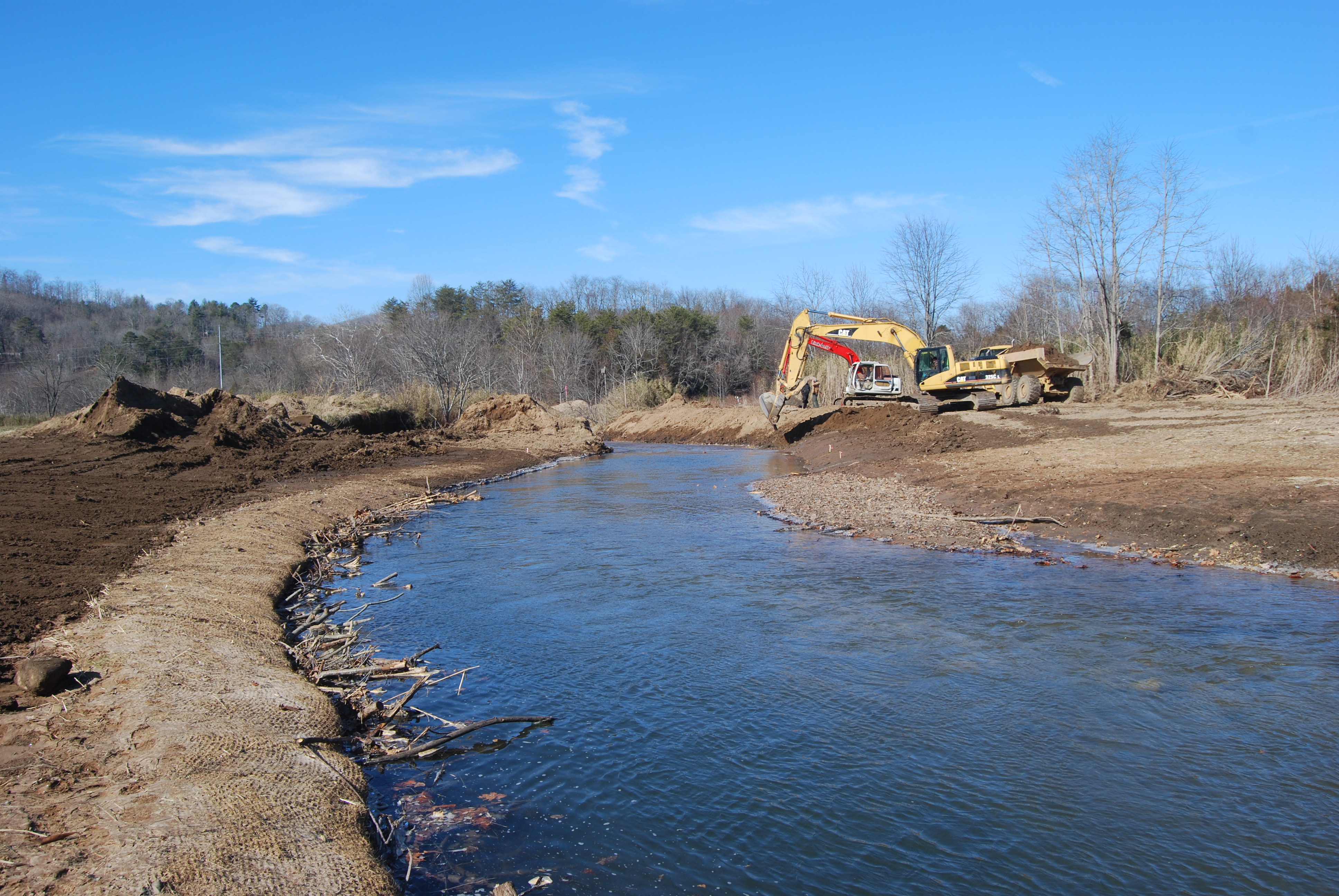
Purchased from the Dills family in 2017, Mainspring received grants from Duke Energy, U.S. Fish and Wildlife Service, and Tennessee Valley Authority to fund a much-needed restoration along the banks of Cartoogechaye Creek. The land was then conserved through a grant from the North Carolina Land and Water Fund, allowing us to sell it to the Town of Franklin in 2022 at a bargain price. The town worked with the county to extend the Little Tennessee Greenway to the Macon County Rec Park and re-route the Blue Ridge Bartram Trail off busy roads for the safety of hikers.
-
Klatt Wetland
Located in Macon County and split by Highway 28, one side of this property has a 22-acre wetland tract with 1,830 feet of river frontage, while across the road more than 24 acres of forested upland will remain intact. It was the largest remaining unconserved wetland on the free-flowing section of the Little Tennessee River.
-
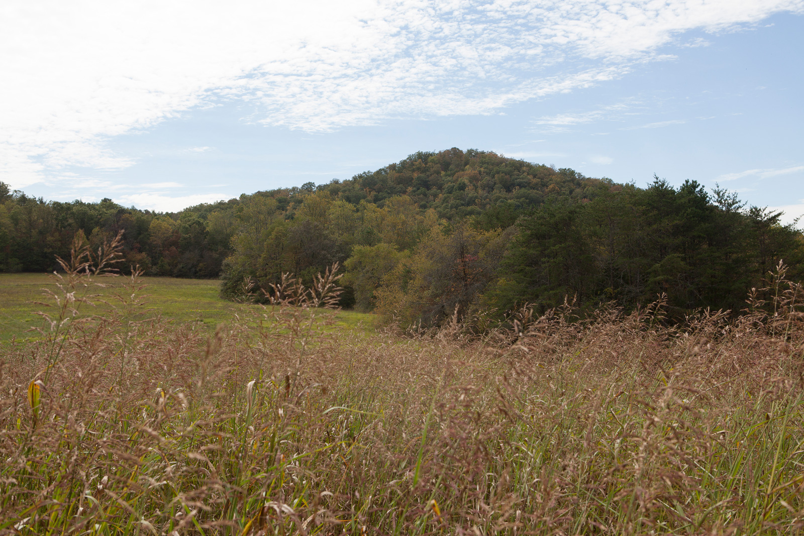
Onion Mountain
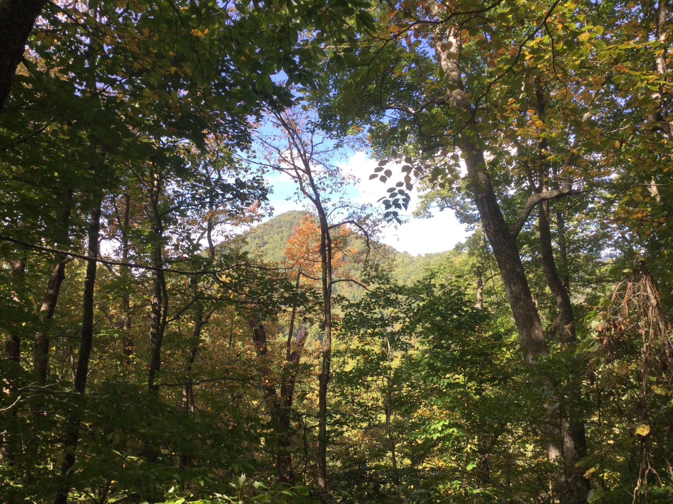
The Onion Mountain projects was added to Mainspring’s public properties after a couple purchased the property and gifted it to Mainspring so it will remain a forever-wild place to explore. As a forested spot at a higher elevation – its peak is 3,480 feet – the natural beauty and biodiversity will offer a different example of what people will see at our publicly-accessible properties. Eventually a two-mile hiking trail will be formed using the current primitive road.
-
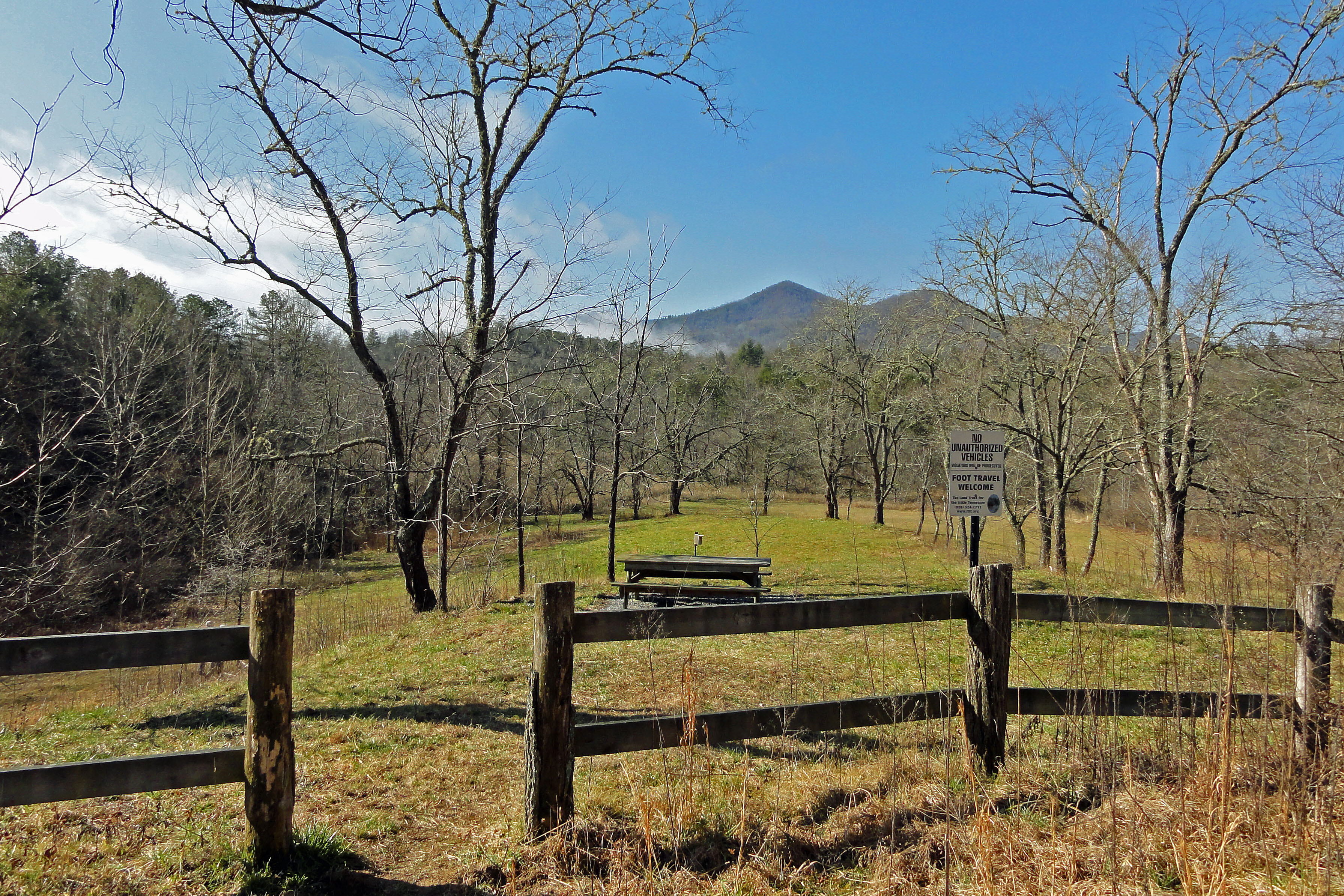
Cowee Viewsite
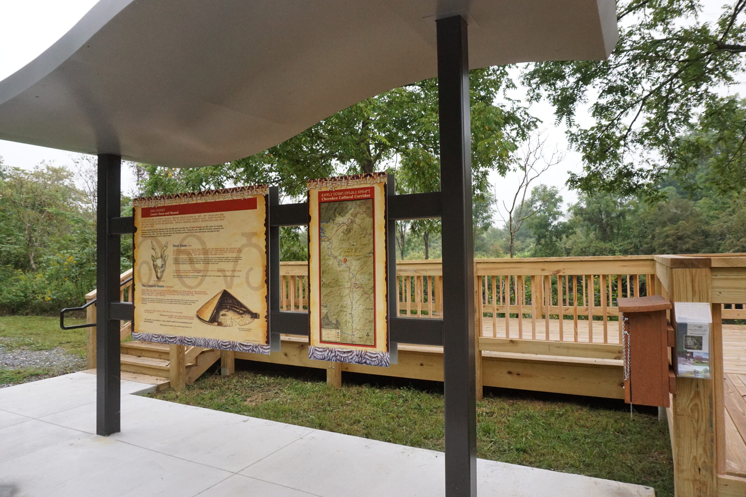
Located off Scenic Hwy 28 in Macon County, the viewsite sits on conserved land created through four acquisitions purchased between 2010-2014. Originally part of an 11.54-acre subdivision divided into 23 lots marketed to become RV sites, Mainspring now owns 16 of those lots, totaling more than 7 acres.
The property sits directly across the Little Tennessee River from Cowee Mound. In 2007, a conservation project spearheaded by Mainspring culminated in the return on the mound and its surrounding property to Cherokee ownership.
In 2018, interpretive signs were placed on the viewsite by Nikwasi Initiative, featuring panels that tell the story of Cowee in both Cherokee syllabary and English. Landscape of native plants were planted along a new walking trail from the site along the river and there is a rustic paddle put-in at Potts Branch.
VISIT:
Mainspring is happy to have you visit and explore the Cowee Viewsite. Please respect our policies.
What we allow: foot travel, fishing, swimming (at your own risk), non motor boat put in.
Park in designated areas only.
DIRECTIONS FROM FRANKLIN: 7860 Bryson City Road, Franklin, NC
Follow NC-28/Depot Street from Main Street for approximately 7.7 miles. Gravel entrance will be on the left.
-
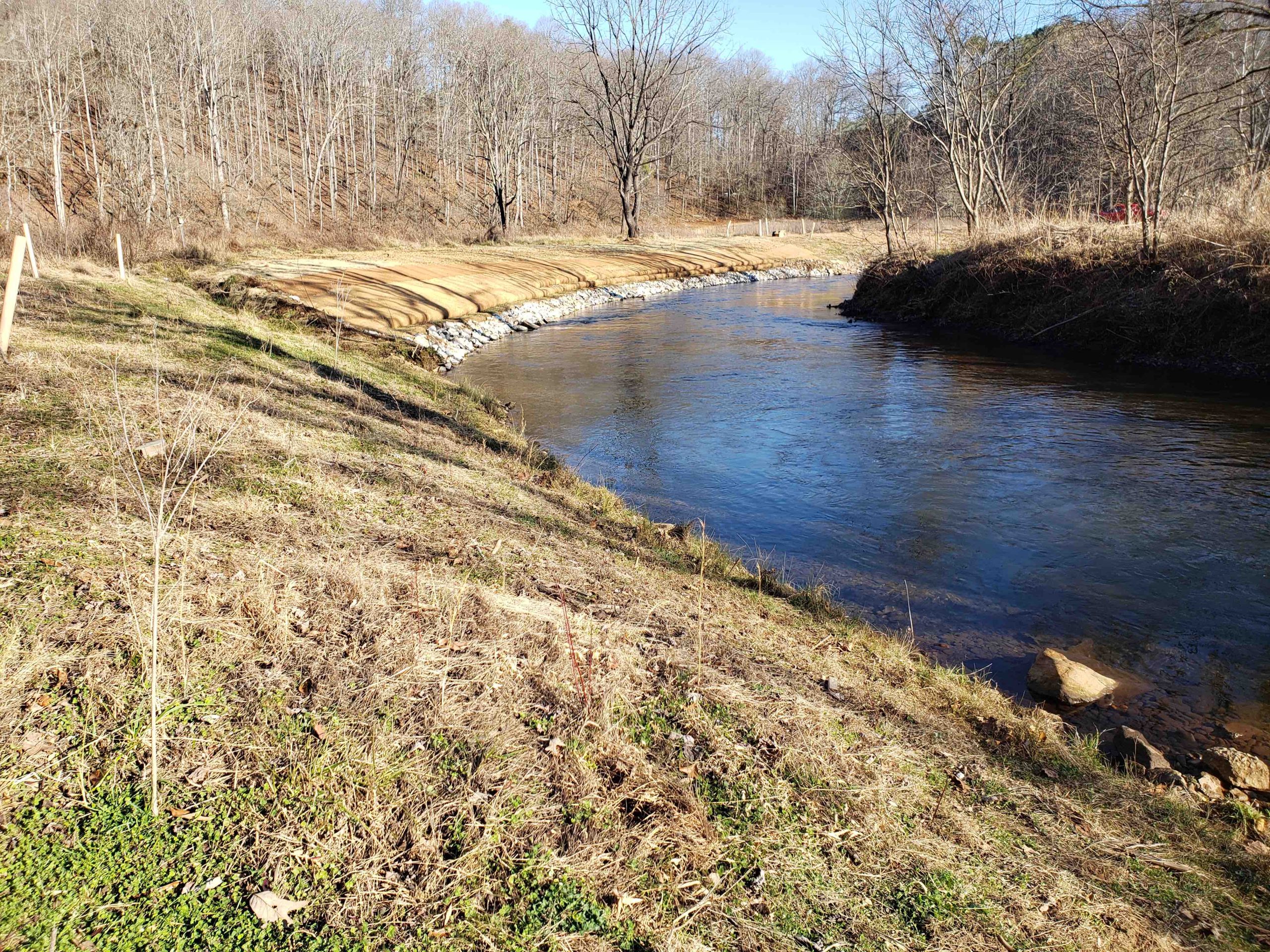
Walnut Creek
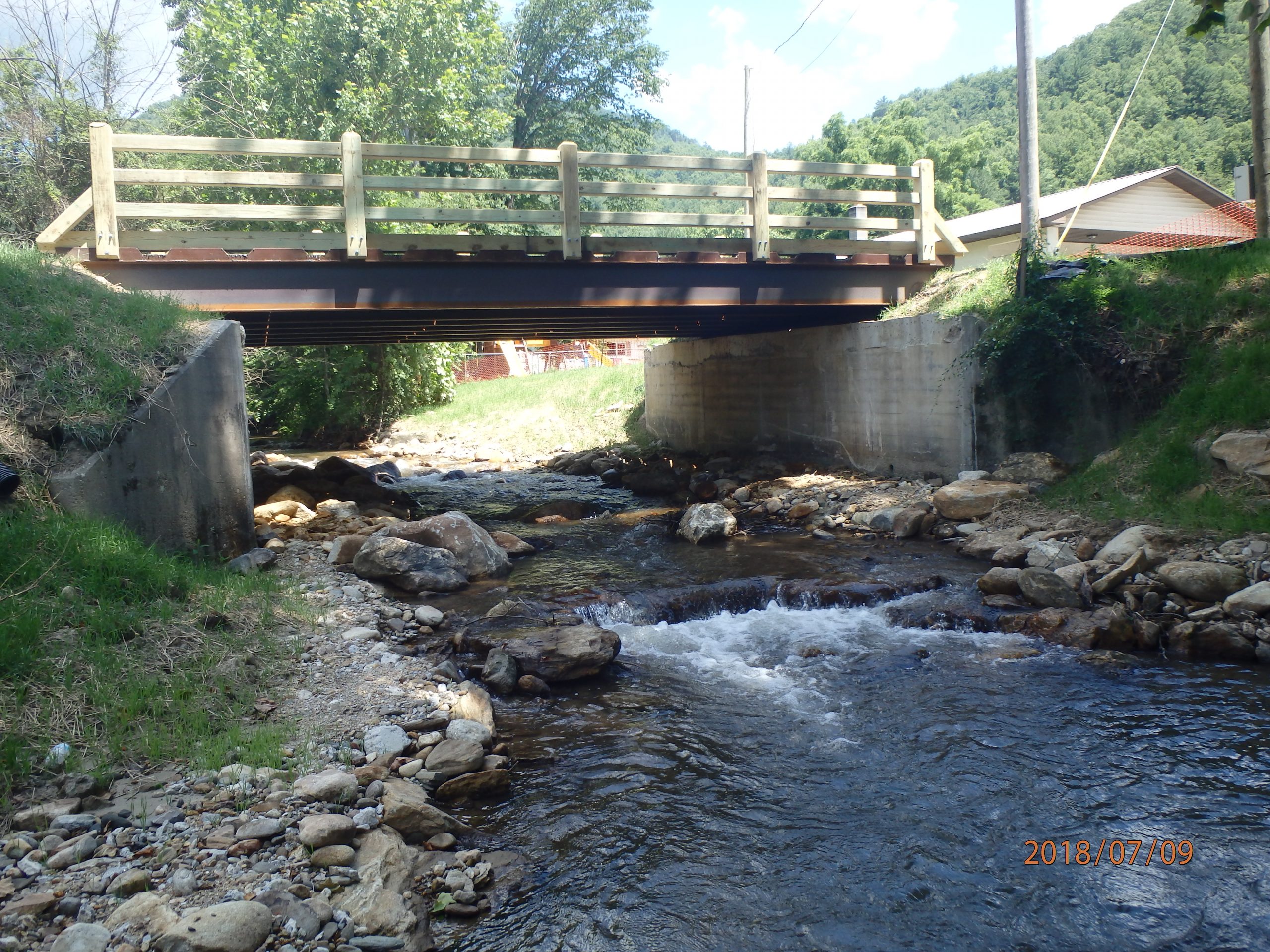
This restoration project near Pine Grove Baptist Church on Highlands Road in Franklin removed a culvert and replaced a bridge. It was funded through the Aquatic Organism Passage program of the North Carolina Wildlife Resources Commission.
Prior to the removal of the barriers, a study was conducted to assess the number of fish in Walnut Creek. The study was then compared to data from Mainspring’s 30-year-old Aquatic Biomonitoring Program from nearby Peaceful Cove Creek and the Cullasaja River. Based on the data, up to 14 more fish species can now access the creek’s cooler waters when river temperatures rise each summer. The restoration also allows fish that get washed downstream during heavy rains to return back upstream.
-
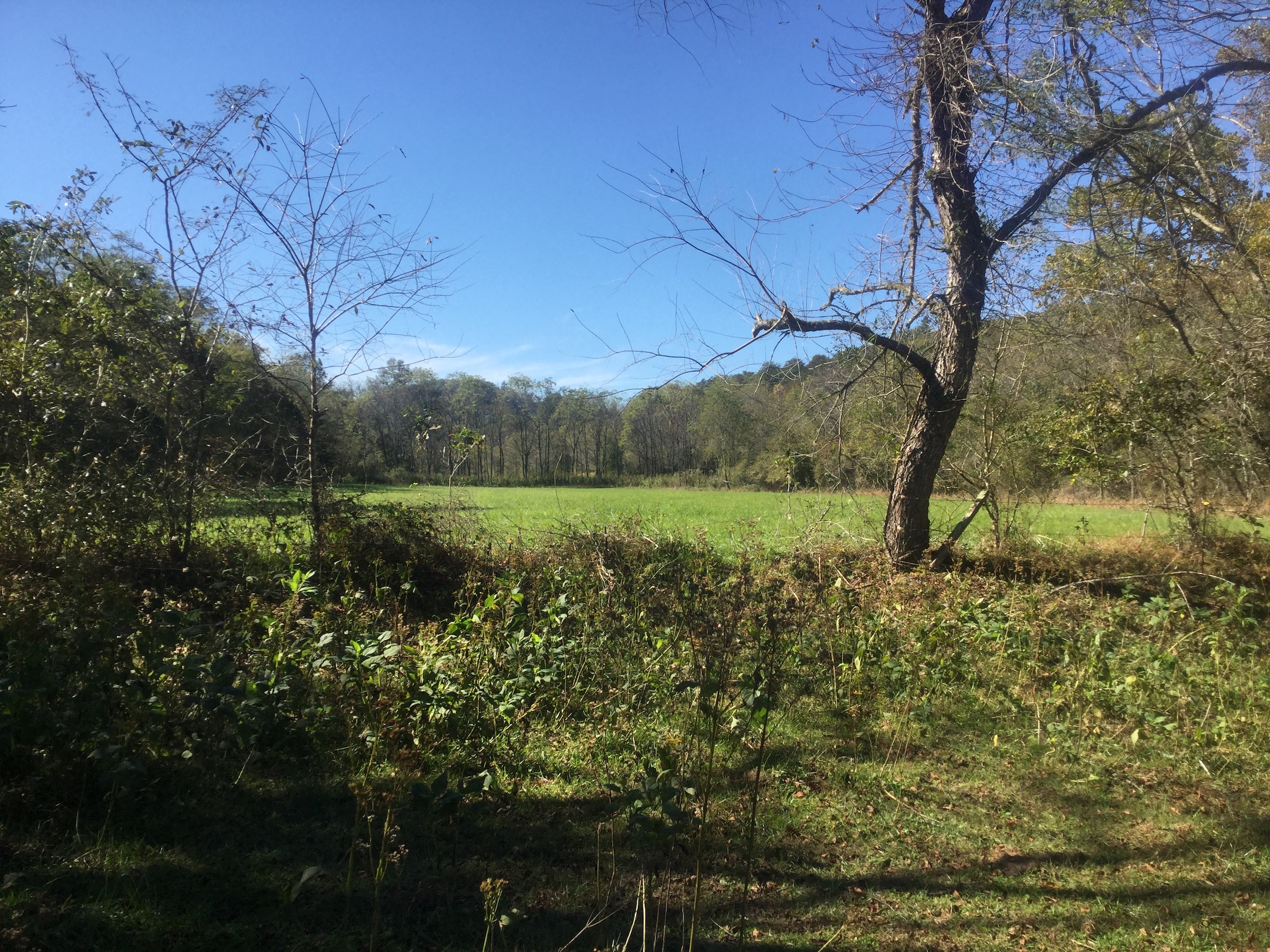
Watauga Town
Located just north of Franklin and south of the Little Tennessee River, Mainspring has conserved three parcels that were part of Historic Watauga Town. The property that is viewable from Scenic Hwy 28 includes Watauga Mound, one of the mounds from the ancient Cherokee Middle Towns. Watauga Mound is located between Nikwasi (3 miles upstream in modern Franklin) and Cowee (4 miles downstream) Mounds. The effort to conserve the property involved three acquisitions, with two occurring together since property ownership split right through the mound. The first was up for sale through a real estate listing, while the second landowners, after hearing of the conservation project, chose to sell their portion of the mound so it would be conserved in its entirety. The third tract, once part of the Earnest Childers Farm, was purchased in 2023. Part of the property will continue to be used for hay production and cattle grazing and all three tracts are available for teaching and research by professors and students in the anthropology program at Western Carolina University.
-
Little Tennessee Bartram Trail Project
The mostly floodplain with some upland forest land lies between land owned by the NC Wildlife Resources Commission (that Mainspring conserved and conveyed to the State in 2008) on the east and U.S. Forest Service Lands on the west. Linking these two public access areas now allows the Bartram Trail to be connected to the river and provide parking for hikers, which is absent at this point.
In addition to the improved public accessibility, it is valued for conservation for the riverfront, floodplain and floodway. Due to the species richness of the Little Tennessee River, it is classified as State Significant Aquatic Habitat. Especially rare aquatic species that will benefit from this project include four mussels and two fish species. The Little Tennessee River floodplain also contains two significant plant community types: the rare Montane alluvial forest and the Floodplain pool. -
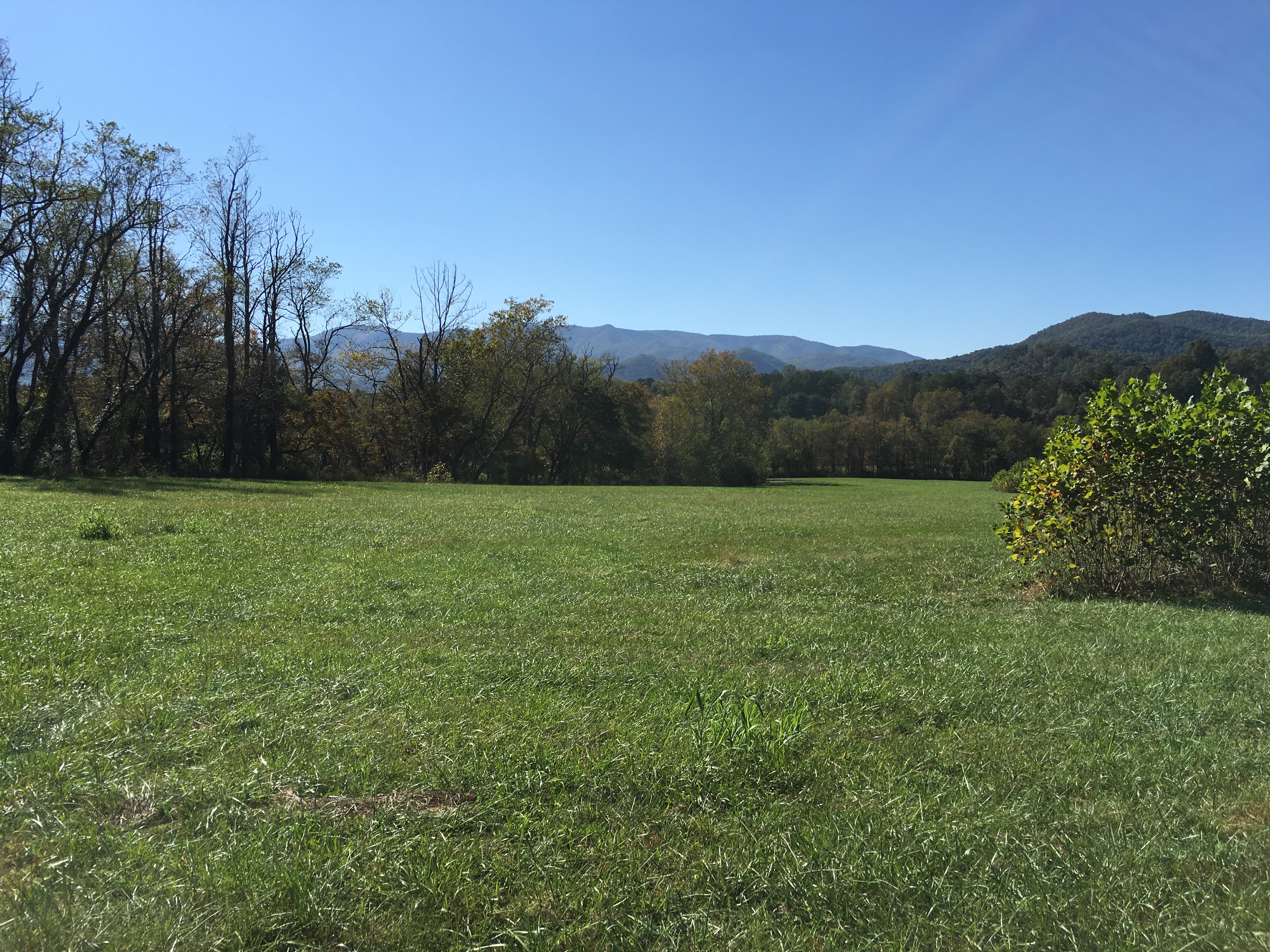
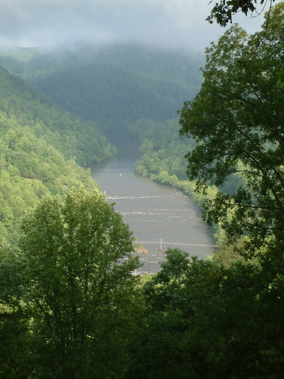
Mouse Mountain
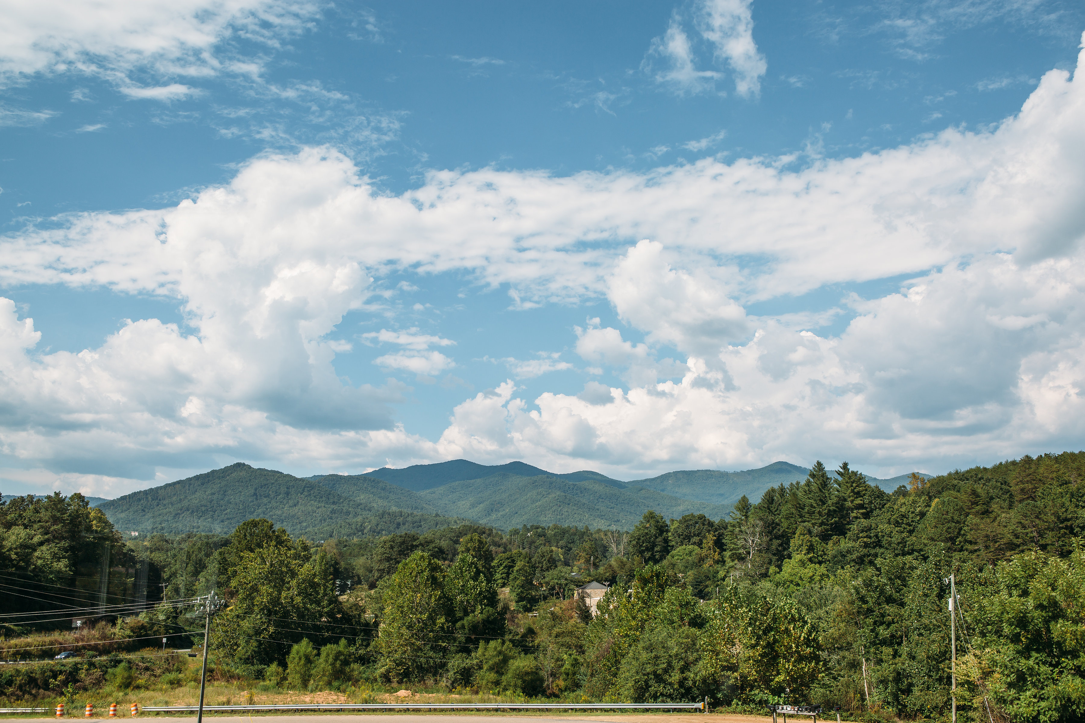
Mainspring worked with five families and completed nine transactions over a period of three years to finalize this complicated project, but it was worth it! The project holds significant conservation values; it lies in a key Mainspring conservation corridor that connects the Cowee Mountains to the Nantahala Mountains and protects the unspoiled mountain landscape. Visitors at the historic Cowee Mound, drivers on Indian Lakes Scenic Byway (Hwy 28), and boaters floating on the Little Tennessee River can all see the views. It also connected three outlying parcels of US National Forest Land when 427 acres was transferred to the USFS in early 2017.
-
Tessentee Creek at Mainspring’s Tessentee Bottomland Preserve
Partners: Mainspring, Macon Soil & Water Conservation District, USDA Natural Resource Conservation Service, Resource Institute, U.S. Fish & Wildlife Service,
2,000 feet of Tessentee Creek, one of the largest tributaries to the Upper Little Tennessee River, on Mainspring’s flagship property, the Tessentee Bottomland Preserve.
-
Tessentee Creek
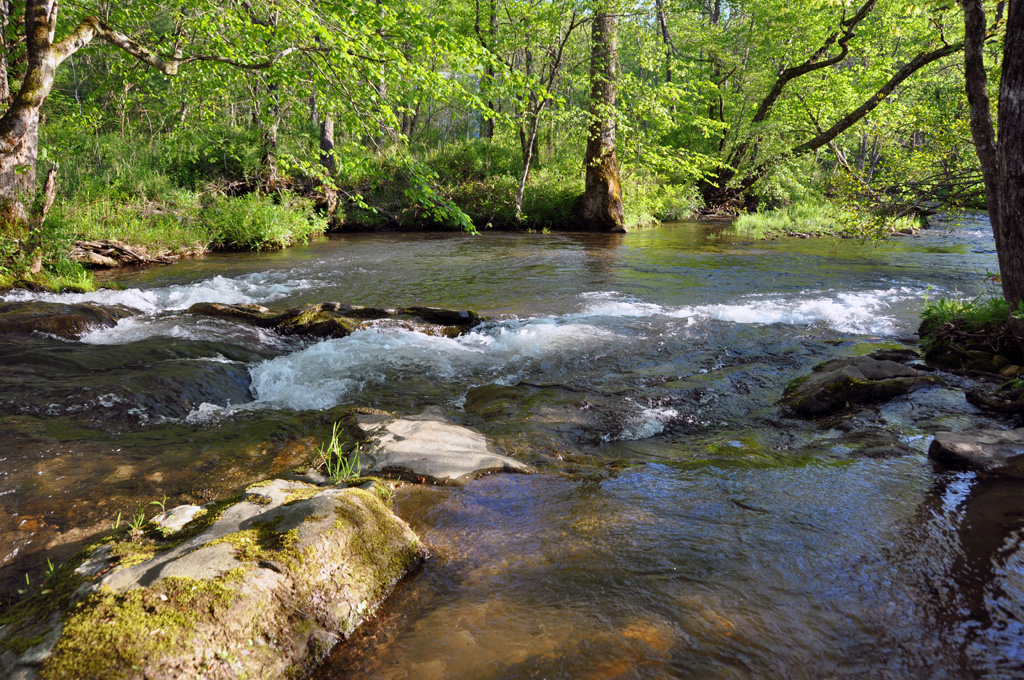
Owner Ed Haight donated a conservation easement on his “Tessentee Bend” property to Mainspring in 2010. The property has 4,500 feet of streams including frontage on Tessentee Creek and Buckeye Branch. With almost 11 acres of farmland, the owner currently has a vineyard, blueberry farm and beekeeping operation. In addition to the prime soil and water, the forested section of the land includes a diversity of forest plants, which offer a variety of habitat wildlife.
-
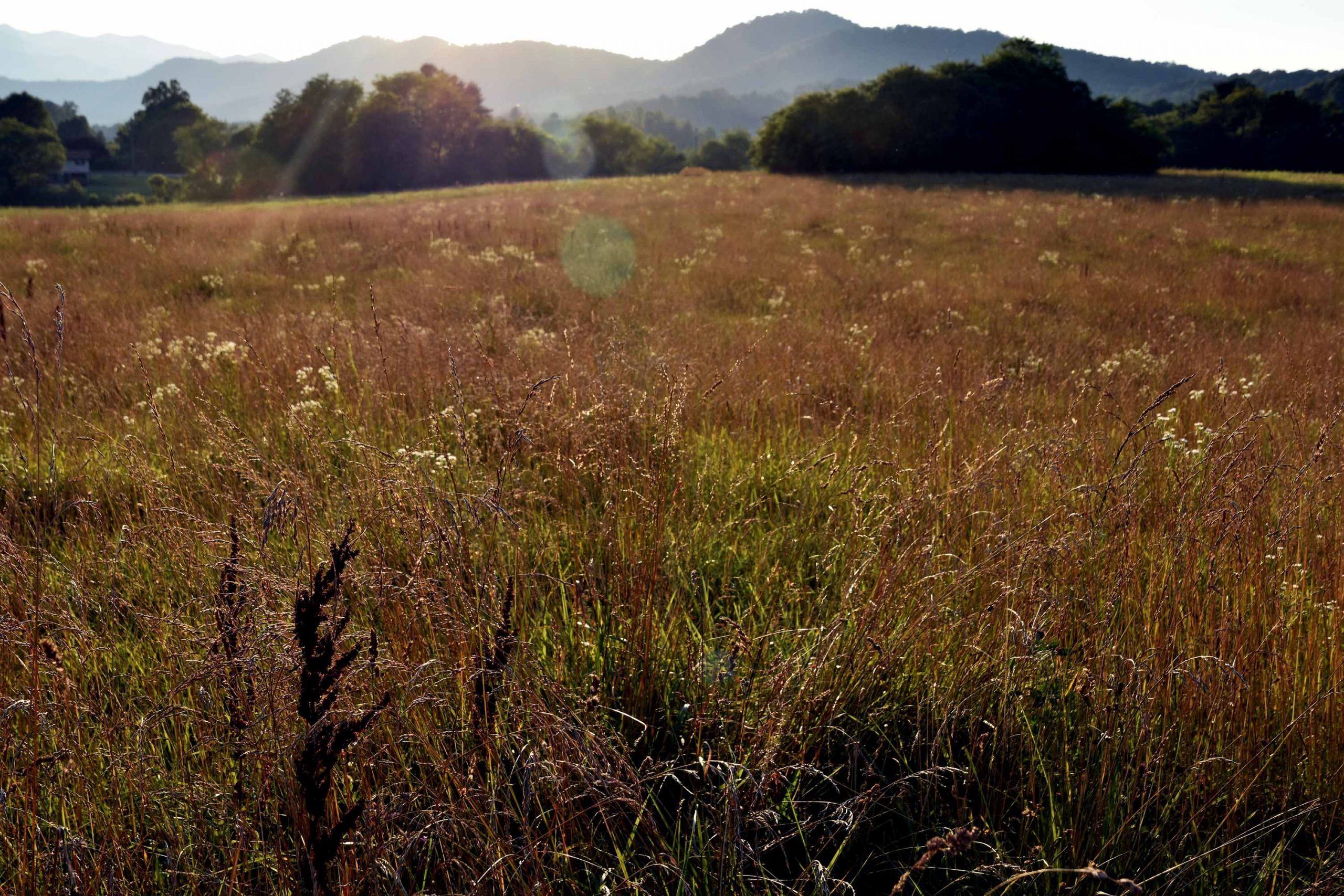
Spring Ridge Dairy
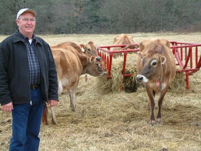
In December 2004 Mainspring acquired a working farm conservation easement on Spring Ridge Dairy — one of the largest riverfront farms at the head of the Little Tennessee River Valley. The conservation agreement ensures that the broad bottomland along a mile of river will be protected from development and always remain available for farming. In addition to protecting farmland and the rural scenery at the Gateway to North Carolina, the agreement conserves the heart of the battlefield site in which a British-led force of 2,800 men in 1761 defeated the Cherokee in what was known as the second battle of Echoe during the “French and Indian War” in the South. Funding for this project came from the USDA Farm and Ranchland Protection Program, from the N.C. Clean Water Management Trust Fund, and from over $80,000 of key donations from Mainspring supporters.
-
Queen Branch
The Queen Branch parcel, which was a restoration site for mitigation purposes, was gifted to Mainspring by Duke Power in June 2004. The 16-acre property is adjacent to Needmore Game Lands and has1,600 feet of Little Tennessee River frontage. The floodplain parcel has open meadows and wetlands at the confluence of Queen Branch and the Little Tennessee.
-
Middle Creek
In the first conservation easement ever received by Mainspring (then Land Trust for the Little Tennessee) Dick and Gill Heywood conveyed a conservation easement on their 35-acre property in southern Macon County to the land trust. The property contains a half-mile of Middle Creek frontage. The conservation easement they conveyed to Mainspring allows for continued farming of the rich bottomlands, building small farm-related buildings, and harvesting the timber according to an approved forest-management plan. The easement limits any future subdivision of the land.
-
Gibson Bottoms
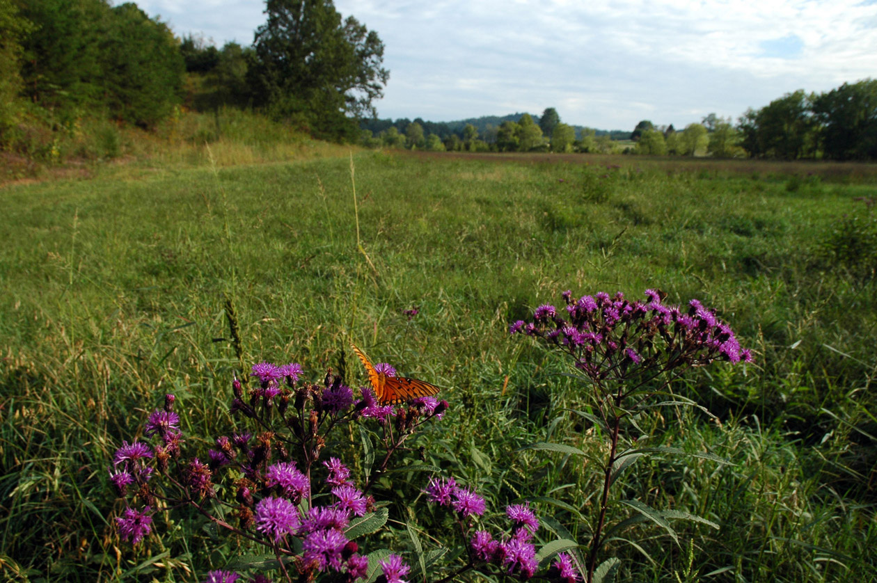
Gibson Bottoms was fated to be an RV park before hundreds of Macon County citizens asked the state to halt the first permit for point source pollution on the river downstream of Franklin. Subsequently, Mainspring negotiated a contract to purchase the 36-acre tract from the developer. The financial support for this purchase came from the NC Clean Water Management Trust Fund, a grant from Doris Duke Charitable Foundation, made via the Conservation Fund, and private gifts from 85 friends of Mainspring who responded to an appeal letter in 2002. An adjacent 28.5 acres was conserved in 2005, which includes another 1,000 feet of river frontage. In 2017, Franklin High School senior Logan Mossbarger and volunteer John Garrison designed a layout and construction of a 1.7 mile trail on the property.
Visit the property.
View the new trail or download the PDF to print on your own.
-
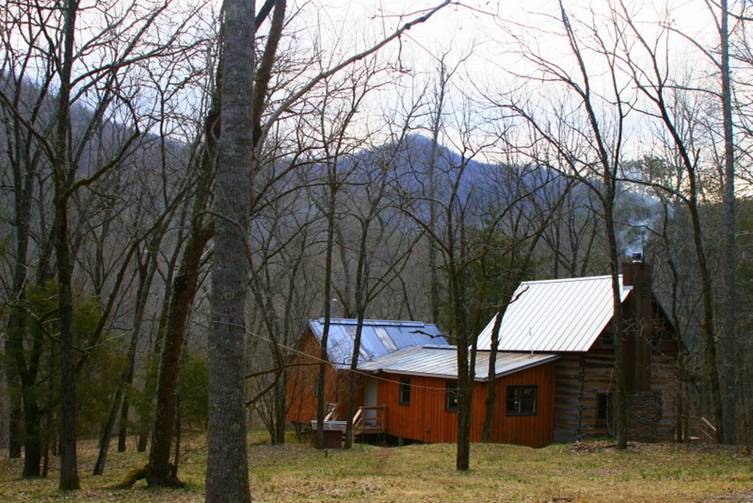
Vonnie West House
In 2013, Mainspring purchased the historic Vonnie West House house and the old West’s Mill Post Office in the heart of the Cowee-West’s Mill Historic District, downhill from the Rickman General Store and historic Cowee School. The house sold in 2015 through Preservation North Carolina to private buyers, who will restore the property. Aunt Vonnie, as she was known, taught for 35 years in counties across the State — a lifetime spent strengthening communities. When she came home to West’s Mill she also worked to support that community by teaching, by looking for opportunities to help her neighbors, and by assisting her postmistress mother as she ran the West’s Mill Post Office. Vonnie West died in 1976 at the age of 90.
-
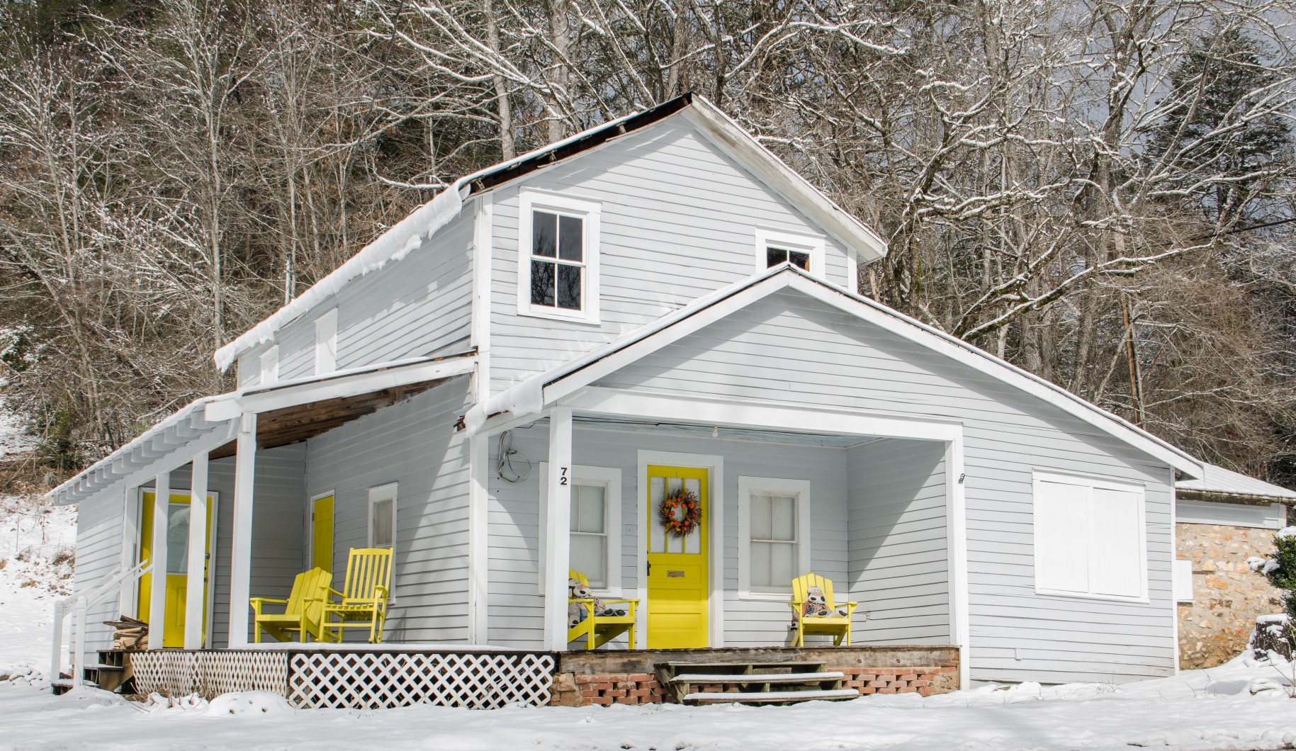
Morrison House
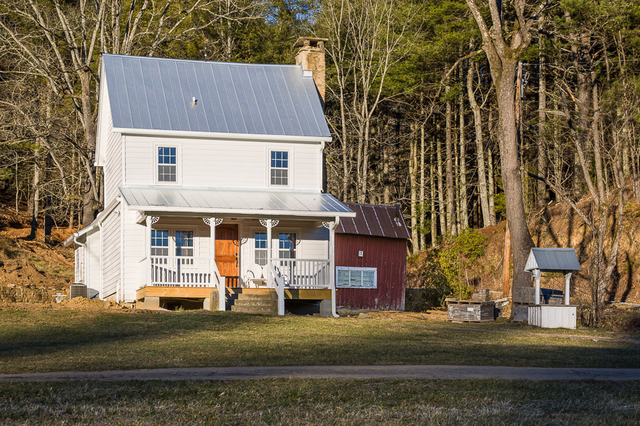
In 2011, Mainspring had the chance to purchase 133 acres of rolling pasture and forested hills surrounding the historic home of William Morrison, Sr. — the oldest standing structure in northern Macon County. With major donor support Mainspring seized the opportunity to conserve the property and partnered with Preservation North Carolina to find the next generation owner and to oversee restoration of the historic structure. In July 2013 the property was sold to Jackie and Cynthia Gregory. The conservation agreement with the Gregory’s conserves the properties while allowing an additional home site, agriculture and forest management.
Lakey Creek also flows through the Morrison House property. Read more about the restoration of Lakey Creek.
-
Hall Mountain
The Hall Mountain tract, six miles north of Franklin, looms over historic Cowee Mound, forming a significant portion of the viewshed from the Mound. A public gathering held on May 31, 2013 celebrated the transfer of 108 acres of historically and culturally significant land from Mainspring to the Eastern Band of Cherokee. The event marked the culmination of an eight-year effort to save the land from development and return it to the Cherokee Indians. The project was a partnership involving the Eastern Band of Cherokee Indians, Mainspring, the U.S. Forest Service, and The Wilderness Society. It was among the first to receive a grant from the newly formed Community Forest and Open Space Conservation Program, and one of only ten recipients nationwide.
-
Needmore Tract
Since the original campaign to conserve the 4,500-acre Needmore Tract, Mainspring has made eight property additions to the Needmore Game Lands. Acquired by the State of North Carolina in 2004, the Needmore Game Lands now encompass more than 5,000 acres and 30 miles of river frontage in Swain and Macon Counties. When Mainspring purchased 38 acres in Swain County in October 2015, the legacy of adding to the Needmore Game Lands continued in this area of unparalleled beauty and biodiversity. In 2016, Lazy Hiker Brewing Company collaborated with Mainspring to create “Needmore Ale,” named for this landmark project.